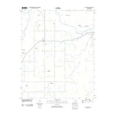
2009 Map of Calvin West
USGS Topo · Published 2009About this map
The Canadian River meanders across this Hughes County landscape, defining the northern geography alongside its confluence with the Little River. In the early 21st century, the area around Atwood remains characterized by a network of rural section-line roads and numerous small-scale water management features. The prevalence of named private impoundments, such as the Jack Coppedge Dam, C H Black Dam, and Marvin Sells Dam, indicates a landscape heavily modified for local ranching or agricultural water storage.
Find a feature on this map
40 named features on this map. Tap any name to fly to it.
Don’t see what you’re looking for? This feature index may not catch every label — zoom into the map to look around manually.
Map Details
Editions of this 2009 Calvin West Map
This is the sole edition of this map. No revisions or reprints were ever made.
Other maps of this area

1896 · Coalgate
USGS Topo · 1:125,000

1899 · Coalgate
USGS Topo · 1:125,000

1900 · Wewoka
USGS Topo · 1:125,000

1900 · Coalgate
USGS Topo · 1:125,000

1954 · Oklahoma City
USGS Topo · 1:250,000

1957 · Ardmore
USGS Topo · 1:250,000

1957 · Oklahoma City
USGS Topo · 1:250,000

1958 · Steedman
USGS Topo · 1:24,000

1963 · Ardmore
USGS Topo · 1:250,000

1963 · Oklahoma City
USGS Topo · 1:250,000