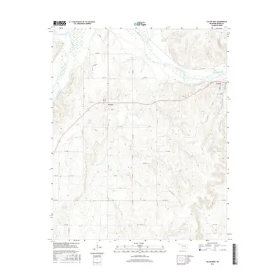
2016 Map of Calvin West
USGS Topo · Published 2016About this map
The Canadian River dominates the northern landscape of this region, joined by the Little River at its western edge. To the south, the terrain is defined by a dense network of tributaries including Big Cr, Wildcat Cr, and Leader Cr, which carve through the Oklahoma countryside toward the major river valley. The small settlements of Atwood and Calvin serve as the primary human centers, with the latter situated near the riverbanks where State Hwy 1 crosses.
Find a feature on this map
52 named features on this map. Tap any name to fly to it.
Don’t see what you’re looking for? This feature index may not catch every label — zoom into the map to look around manually.
Map Details
Editions of this 2016 Calvin West Map
This is the sole edition of this map. No revisions or reprints were ever made.
Other maps of this area

1896 · Coalgate
USGS Topo · 1:125,000

1899 · Coalgate
USGS Topo · 1:125,000

1900 · Wewoka
USGS Topo · 1:125,000

1900 · Coalgate
USGS Topo · 1:125,000

1954 · Oklahoma City
USGS Topo · 1:250,000

1957 · Ardmore
USGS Topo · 1:250,000

1957 · Oklahoma City
USGS Topo · 1:250,000

1958 · Steedman
USGS Topo · 1:24,000

1963 · Ardmore
USGS Topo · 1:250,000

1963 · Oklahoma City
USGS Topo · 1:250,000