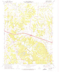
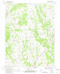
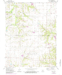
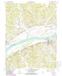
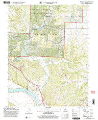
1973 Map of Calwood
USGS Topo · Published 1975This historical map portrays the area of Calwood in 1973, primarily covering Callaway County. Featuring a scale of 1:24000, this map provides a highly detailed snapshot of the terrain, roads, buildings, counties, and historical landmarks in the Calwood region at the time. Published in 1975, it is one of 2 known editions of this map due to revisions or reprints.
Find a feature on this map
25 named features on this map. Tap any name to fly to it.
Don’t see what you’re looking for? This feature index may not catch every label — zoom into the map to look around manually.
Map Details
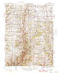
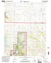
Editions of this 1973 Calwood Map
2 editions found
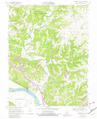
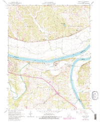
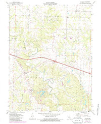
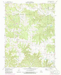
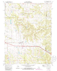
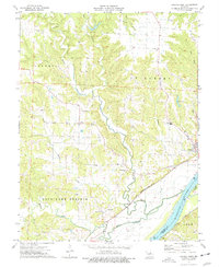
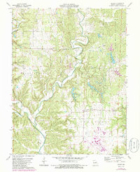
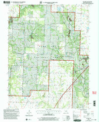
Historical Maps of Calwood Through Time
20 maps found

1944 Millersburg
Callaway County, MO
1946 Millersburg
Callaway County, MO
1962 Jefferson City NW
Callaway County, MO
1967 Osage City
Callaway County, MO
1969 Guthrie
Callaway County, MO
1969 Hatton
Callaway County, MO
1969 Jefferson City NW
Callaway County, MO
1969 Millersburg NE
Callaway County, MO
1972 Mexico SE
Callaway County, MO
1973 Calwood
Callaway County, MO
1973 Readsville
Callaway County, MO
1973 Williamsburg
Callaway County, MO
1975 Mokane East
Callaway County, MO
1975 Mokane West
Callaway County, MO
1975 Reform
Callaway County, MO
2000 Guthrie
Callaway County, MO
2000 Jefferson City NW
Callaway County, MO
2000 Millersburg NE
Callaway County, MO
2000 Mokane East
Callaway County, MO
2000 Mokane West
Callaway County, MO