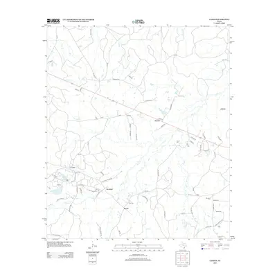
2013 Map of Camden
USGS Topo · Published 2013About this map
Camden and Lily Island anchor this pocket of Tyler County, where a network of rural roads and creek drainages defines the local geography. The landscape is marked by several small, established communities and the transition from Old Barnum to the more contemporary site of Barnum. For genealogists and local historians, the area is notably dense with family and community burial grounds, including the Peach Tree Village Cem, Darden Cem, and Lily Island Cem. Waterways like Sulphur Cr, Beaver Cr, and Caney Cr wind through the terrain, while small bodies of water like Barnum Lake and Carter Lake provide landmarks in the wooded landscape. This 2013 survey reflects the continued significance of these rural hubs and the established land-use patterns of East Texas, where local history is preserved in small settlements and family-named cemeteries scattered across the Dobbs Cr and Elm Cr valleys.
Find a feature on this map
85 named features on this map. Tap any name to fly to it.
Don’t see what you’re looking for? This feature index may not catch every label — zoom into the map to look around manually.
Map Details
Editions of this 2013 Camden Map
This is the sole edition of this map. No revisions or reprints were ever made.
Other maps of this area

1927 · Lufkin 4-c
USGS Topo · 1:24,000

1928 · Lufkin 4-d
USGS Topo · 1:24,000

1932 · Manning
USGS Topo · 1:62,500

1953 · Palestine
USGS Topo · 1:250,000

1954 · Beaumont
USGS Topo · 1:250,000

1955 · Camden
USGS Topo · 1:62,500

1955 · New Willard
USGS Topo · 1:62,500

1957 · Beaumont
USGS Topo · 1:250,000

1957 · Palestine
USGS Topo · 1:250,000
1963 · Wolf Hill
USGS Topo · 1:24,000