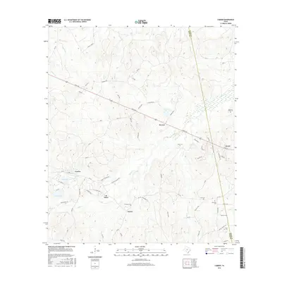
2016 Map of Camden
USGS Topo · Published 2016About this map
Barnum and Chester anchor the eastern and central corridors of this East Texas survey, where the winding course of Caney Cr and Dabbs Cr define the timbered landscape. The area is marked by a deep network of family and community landmarks, particularly evident in the cluster of burial grounds including Peach Tree Village Cem and Darden Cem. The settlement of Camden sits near Pine Pond and Carter Lake, connected to the interior by a web of local routes like Lilly Island Loop and McQueen Loop.
Find a feature on this map
67 named features on this map. Tap any name to fly to it.
Don’t see what you’re looking for? This feature index may not catch every label — zoom into the map to look around manually.
Map Details
Editions of this 2016 Camden Map
This is the sole edition of this map. No revisions or reprints were ever made.
Other maps of this area

1927 · Lufkin 4-c
USGS Topo · 1:24,000

1928 · Lufkin 4-d
USGS Topo · 1:24,000

1932 · Manning
USGS Topo · 1:62,500

1953 · Palestine
USGS Topo · 1:250,000

1954 · Beaumont
USGS Topo · 1:250,000

1955 · Camden
USGS Topo · 1:62,500

1955 · New Willard
USGS Topo · 1:62,500

1957 · Beaumont
USGS Topo · 1:250,000

1957 · Palestine
USGS Topo · 1:250,000
1963 · Wolf Hill
USGS Topo · 1:24,000