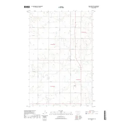
2017 Map of Camp Creek West
USGS Topo · Published 2017About this map
Camp Creek winds through the central corridor of this McKenzie County landscape, defining the topography of an area dominated by the Public Land Survey System's rigid grid. The map reveals the intersection of rural infrastructure and aviation history at Gajewski Field, while the Camp Creek Cem provides a focal point for genealogical research in this sparsely settled northern prairie region. A network of section-line roads, including Co Rd 16 and numerous numbered routes like 37th St NW, provides access to the expansive agricultural tracts divided across the boundaries of t152n r102w and t151n r101w. This survey reflects the modern character of North Dakota's ranching and farming country, where long-established local identifiers persist alongside contemporary road designations.
Find a feature on this map
16 named features on this map. Tap any name to fly to it.
Don’t see what you’re looking for? This feature index may not catch every label — zoom into the map to look around manually.
Map Details
Editions of this 2017 Camp Creek West Map
This is the sole edition of this map. No revisions or reprints were ever made.
Other maps of this area

1953 · Williston
USGS Topo · 1:250,000

1953 · Watford City
USGS Topo · 1:250,000

1957 · Williston
USGS Topo · 1:250,000

1957 · Watford City
USGS Topo · 1:250,000

1967 · Watford City
USGS Topo · 1:250,000

1969 · Trenton
USGS Topo · 1:24,000

1969 · Cartwright NE
USGS Topo · 1:24,000

1972 · Alexander
USGS Topo · 1:24,000

1972 · Rawson
USGS Topo · 1:24,000

1972 · Charbonneau
USGS Topo · 1:24,000