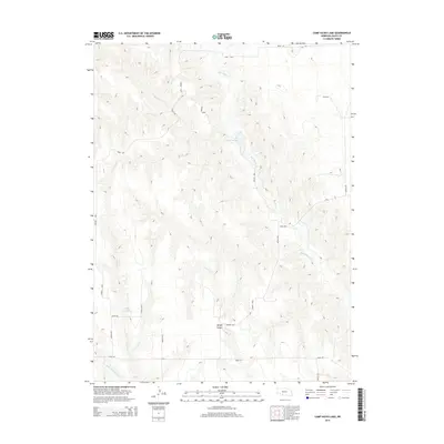
2014 Map of Camp Hayes Lake
USGS Topo · Published 2014About this map
Camp Hayes Lake serves as a central landmark in this portion of Hayes County, Nebraska, where the high plains landscape is deeply incised by a network of seasonal watercourses. The drainage of Red Willow Cr dominates the eastern half of the map, carving winding paths through the terrain alongside Skunk Cr and Little Blackwood Cr to the south. These waterways dictate the local geography, creating the distinct ridges and valleys characteristic of the region, including the notable Burger Canyon.
Find a feature on this map
24 named features on this map. Tap any name to fly to it.
Don’t see what you’re looking for? This feature index may not catch every label — zoom into the map to look around manually.
Map Details
Editions of this 2014 Camp Hayes Lake Map
This is the sole edition of this map. No revisions or reprints were ever made.
Other maps of this area

1954 · McCook
USGS Topo · 1:250,000

1956 · White NE
USGS Topo · 1:24,000

1957 · McCook
USGS Topo · 1:250,000

1958 · McCook
USGS Topo · 1:250,000

1970 · Burger Canyon East
USGS Topo · 1:24,000

1973 · Camp Hayes Lake SE
USGS Topo · 1:24,000

1973 · Suttlers Canyon East
USGS Topo · 1:24,000

1973 · Suttlers Canyon West
USGS Topo · 1:24,000
1973 · Burger Canyon West
USGS Topo · 1:24,000

1974 · Hayes Center
USGS Topo · 1:24,000