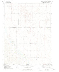
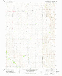
1973 Map of Suttlers Canyon East
USGS Topo · Published 1977About this map
Red Willow Creek cuts through the southwest portion of this 1970s landscape, serving as a primary water source for the surrounding drainage basin in south-central Nebraska. The terrain is defined by the winding course of Suttlers Canyon, which provides a clear view of the complex topography along the border of Lincoln County and Hayes County. While much of the area remains open land, the settlement at Marengo and several isolated wells indicate a specialized rural economy dependent on groundwater management. The map also records localized details such as fence and field lines, which were verified through aerial photography and field checks in 1973, offering researchers a granular look at agricultural boundaries and land use patterns during this era.
Find a feature on this map
5 named features on this map. Tap any name to fly to it.
Don’t see what you’re looking for? This feature index may not catch every label — zoom into the map to look around manually.
Map Details
Editions of this 1973 Suttlers Canyon East Map
This is the sole edition of this map. No revisions or reprints were ever made.
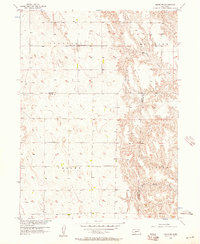
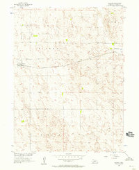
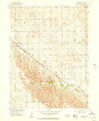
Other maps of this area

1954 · McCook
USGS Topo · 1:250,000
1956 · White NE
USGS Topo · 1:24,000
1956 · Dickens
USGS Topo · 1:24,000
1956 · Somerset
USGS Topo · 1:24,000

1957 · McCook
USGS Topo · 1:250,000

1958 · McCook
USGS Topo · 1:250,000
1973 · Camp Hayes Lake SE
USGS Topo · 1:24,000
1973 · Suttlers Canyon West
USGS Topo · 1:24,000

1973 · Melton Ranch Airport
USGS Topo · 1:24,000
1974 · Hayes Center
USGS Topo · 1:24,000