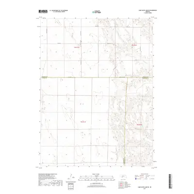
2017 Map of Camp Hayes Lake NE
USGS Topo · Published 2017About this map
Ash Grove Cem sits on a plateau in the northern reaches of this rural Nebraska landscape, where the high plains of Lincoln County meet the borders of Hayes County, Frontier County, and several township boundaries. The terrain is defined by the headwaters of the Brushy Creek system, with the branching paths of N Brushy Cr and S Brushy Cr carving deep drainage patterns into the surrounding prairie. A network of section-line roads and specialized routes like Wagon Trail Rd and Markee Canyon Rd reveal how the land was partitioned for agricultural use. The 2017 survey details a remote area where transportation is governed by the natural topography of canyons and creek beds, providing a clear view of modern land management within the historic township and range system.
Find a feature on this map
20 named features on this map. Tap any name to fly to it.
Don’t see what you’re looking for? This feature index may not catch every label — zoom into the map to look around manually.
Map Details
Editions of this 2017 Camp Hayes Lake NE Map
This is the sole edition of this map. No revisions or reprints were ever made.
Other maps of this area

1954 · McCook
USGS Topo · 1:250,000

1956 · White NE
USGS Topo · 1:24,000

1956 · Curtis SW
USGS Topo · 1:24,000

1956 · Curtis NW
USGS Topo · 1:24,000

1956 · Dickens
USGS Topo · 1:24,000

1956 · Somerset
USGS Topo · 1:24,000

1956 · Wellfleet
USGS Topo · 1:24,000

1957 · McCook
USGS Topo · 1:250,000

1958 · McCook
USGS Topo · 1:250,000

1973 · Camp Hayes Lake SE
USGS Topo · 1:24,000