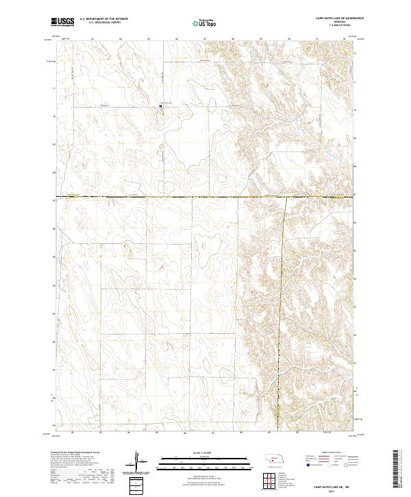
2021 Map of Camp Hayes Lake NE
USGS Topo · Published 2021About this map
The Ash Grove Cem sits on the high ground of the Nebraska plains, overlooking a network of draws and intermittent stream beds that define this borderland where Lincoln, Hayes, and Frontier counties meet. The landscape is structured by a grid of rural routes including Ingham Rd and S Ash Grove Rd, reflecting the expansive agricultural and ranching layout of the region.
Find a feature on this map
19 named features on this map. Tap any name to fly to it.
Don’t see what you’re looking for? This feature index may not catch every label — zoom into the map to look around manually.
Map Details
Editions of this 2021 Camp Hayes Lake NE Map
This is the sole edition of this map. No revisions or reprints were ever made.
Other maps of this area

1954 · McCook
USGS Topo · 1:250,000

1956 · White NE
USGS Topo · 1:24,000

1956 · Curtis SW
USGS Topo · 1:24,000

1956 · Curtis NW
USGS Topo · 1:24,000

1956 · Dickens
USGS Topo · 1:24,000

1956 · Somerset
USGS Topo · 1:24,000

1956 · Wellfleet
USGS Topo · 1:24,000

1957 · McCook
USGS Topo · 1:250,000

1958 · McCook
USGS Topo · 1:250,000

1973 · Camp Hayes Lake SE
USGS Topo · 1:24,000