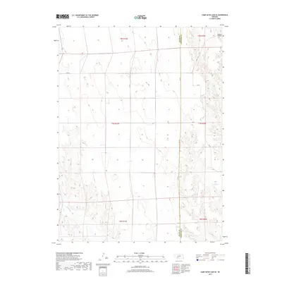
2017 Map of Camp Hayes Lake SE
USGS Topo · Published 2017About this map
The Hayes and Frontier County line bisects this portion of southwestern Nebraska, where the open prairie is deeply etched by the drainage basins of the Republican River system. In the southeast, Teel Reservoir sits at the head of a drainage feeding into Spring Cr, while the southwestern corner is defined by the winding course of Red Willow Cr. The landscape is a classic example of the American High Plains section-line grid, with rural routes like Rd 378 and Rd 741 following the township and range boundaries of t7n r31w and t7n r30w. In the northeastern corner, the terrain drops away into the distinctive breaks of Elkhorn Canyon, illustrating the sharp transition between the flat upland tablelands and the eroded canyon systems that characterize this part of the state.
Find a feature on this map
17 named features on this map. Tap any name to fly to it.
Don’t see what you’re looking for? This feature index may not catch every label — zoom into the map to look around manually.
Map Details
Editions of this 2017 Camp Hayes Lake SE Map
This is the sole edition of this map. No revisions or reprints were ever made.
Other maps of this area

1954 · McCook
USGS Topo · 1:250,000

1956 · White NE
USGS Topo · 1:24,000

1956 · Curtis SW
USGS Topo · 1:24,000

1956 · Curtis NW
USGS Topo · 1:24,000

1957 · McCook
USGS Topo · 1:250,000

1958 · McCook
USGS Topo · 1:250,000

1970 · Quick
USGS Topo · 1:24,000

1970 · Burger Canyon East
USGS Topo · 1:24,000

1973 · Camp Hayes Lake SE
USGS Topo · 1:24,000

1973 · Suttlers Canyon East
USGS Topo · 1:24,000