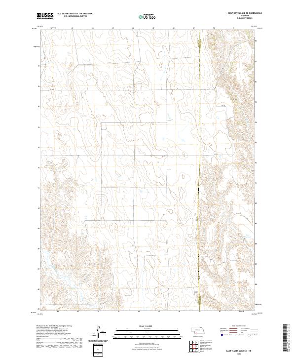
2021 Map of Camp Hayes Lake SE
USGS Topo · Published 2021About this map
The Hayes County and Frontier County line bisects this agricultural landscape in southwestern Nebraska, where a grid of rural sections is defined by long, straight township and range boundaries. The terrain is characterized by the branching drainage systems of Spring Creek in the northeast and Red Willow Creek in the southwest, revealing the underlying topography of the High Plains. Unlike many plains regions where water is scarce, this area shows localized water management through Teel Reservoir. A sparse network of gravel roads, such as Ave 375 and Rd 741, connects isolated farmsteads and agricultural plots. The map provides a clear look at modern land division and the essential role of small creek systems in shaping the rural Nebraska economy and movement patterns.
Find a feature on this map
17 named features on this map. Tap any name to fly to it.
Don’t see what you’re looking for? This feature index may not catch every label — zoom into the map to look around manually.
Map Details
Editions of this 2021 Camp Hayes Lake SE Map
This is the sole edition of this map. No revisions or reprints were ever made.
Other maps of this area

1954 · McCook
USGS Topo · 1:250,000

1956 · White NE
USGS Topo · 1:24,000

1956 · Curtis SW
USGS Topo · 1:24,000

1956 · Curtis NW
USGS Topo · 1:24,000

1957 · McCook
USGS Topo · 1:250,000

1958 · McCook
USGS Topo · 1:250,000

1970 · Quick
USGS Topo · 1:24,000

1970 · Burger Canyon East
USGS Topo · 1:24,000

1973 · Camp Hayes Lake SE
USGS Topo · 1:24,000

1973 · Suttlers Canyon East
USGS Topo · 1:24,000