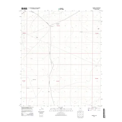
2013 Map of Campbell
USGS Topo · Published 2013About this map
Sterling Ranch and Graham Ranch define the settlement pattern of this rural Chaves County landscape, where water security is represented by the scattered infrastructure of West Windmill, East Windmill, and the White Tank. The terrain transitions from the high ground of Palma Mesa in the northeast to the depth of Lloyds Canyon in the southwest, reflecting the arid character of southeastern New Mexico. Transportation is anchored by the primary corridor of Us-70 E and the diagonal stretch of Ponderosa Rd, which intersects near the locality of Campbell. These ranching outposts and named water points provide essential markers for understanding land use and family history in a region where cattle ranching remains the primary economic and cultural driver.
Find a feature on this map
18 named features on this map. Tap any name to fly to it.
Don’t see what you’re looking for? This feature index may not catch every label — zoom into the map to look around manually.
Map Details
Editions of this 2013 Campbell Map
This is the sole edition of this map. No revisions or reprints were ever made.
Other maps of this area

1949 · Sardine Mountain
USGS Topo · 1:24,000

1949 · L-E Ranch
USGS Topo · 1:24,000

1950 · Comanche Spring
USGS Topo · 1:24,000

1955 · Roswell
USGS Topo · 1:250,000

1958 · Roswell
USGS Topo · 1:250,000

1962 · Roswell
USGS Topo · 1:250,000

1962 · Eightmile Draw
USGS Topo · 1:24,000

1962 · Acme
USGS Topo · 1:24,000
1967 · Campbell
USGS Topo · 1:24,000

1967 · Haystack Mountain
USGS Topo · 1:24,000