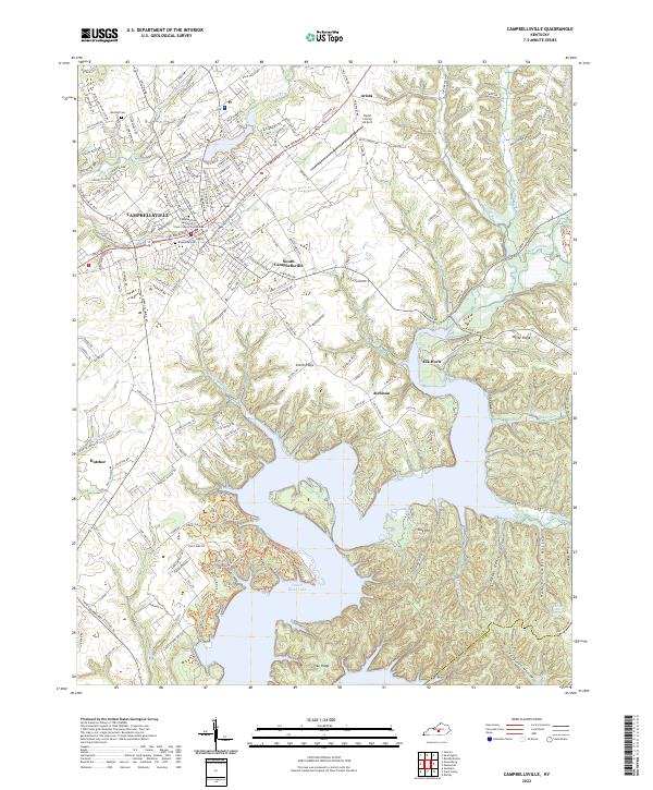
2022 Map of Campbellsville
USGS Topo · Published 2022About this map
Campbellsville serves as the regional anchor for this part of Taylor County, characterized by the prominent campus of Campbellsville University and the historic Taylor County Courthouse. The landscape transitions from the urbanized streets of the city center to the intricate, branching fingers of the Green River Lake reservoir to the south. This modern survey illustrates how the impounded waters have transformed the local topography, creating high-ground features like Smith Ridge and Pike Ridge that now overlook a complex system of coves and inlets.
Find a feature on this map
187 named features on this map. Tap any name to fly to it.
Don’t see what you’re looking for? This feature index may not catch every label — zoom into the map to look around manually.
Map Details
Editions of this 2022 Campbellsville Map
This is the sole edition of this map. No revisions or reprints were ever made.
Other maps of this area

1952 · Mannsville
USGS Topo · 1:24,000

1952 · Bradfordsville
USGS Topo · 1:24,000

1953 · Campbellsville
USGS Topo · 1:24,000

1953 · Saloma
USGS Topo · 1:24,000

1953 · Gresham
USGS Topo · 1:24,000

1953 · Spurlington
USGS Topo · 1:24,000

1953 · Cane Valley
USGS Topo · 1:24,000

1953 · Bradfordsville
USGS Topo · 1:24,000

1954 · Knifley
USGS Topo · 1:24,000

1954 · Greensburg
USGS Topo · 1:24,000