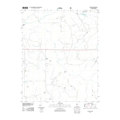
2010 Map of Canaan
USGS Topo · Published 2010About this map
Wolf River winds through the heart of this North Mississippi landscape, defining the lowlands of Robinson Bottom and drawing together several historic communities. The settlement of Canaan anchors the southeast, while Michigan City and Spring Hill sit to the north and west. This region is particularly rich for genealogical research, documenting a high density of family and community burial sites such as the Samuel Chapel Cemetery, Littleton Cemetery, and Fleet Cemetery. Human activity is marked by a network of rural roads like Hamer Mill Rd and Grey Academy Rd, which connect these small settlements and family plots. To the west, the Aldarge Lookout Tower stands as a distinct landmark overlooking the varied terrain of Chubby Creek and Hardaway Pond. The map illustrates a rural economy organized around the river's path and a well-established network of county roads.
Find a feature on this map
57 named features on this map. Tap any name to fly to it.
Don’t see what you’re looking for? This feature index may not catch every label — zoom into the map to look around manually.
Map Details
Editions of this 2010 Canaan Map
This is the sole edition of this map. No revisions or reprints were ever made.
Other maps of this area

1949 · Moscow
USGS Topo · 1:62,500

1950 · Ashland
USGS Topo · 1:62,500

1950 · Grand Junction
USGS Topo · 1:24,000

1951 · Grand Junction
USGS Topo · 1:24,000

1952 · Saulsbury
USGS Topo · 1:24,000

1953 · Holly Springs
USGS Topo · 1:62,500

1956 · Blytheville
USGS Topo · 1:250,000

1956 · Tupelo
USGS Topo · 1:250,000

1958 · Tupelo
USGS Topo · 1:250,000

1959 · Blytheville
USGS Topo · 1:250,000