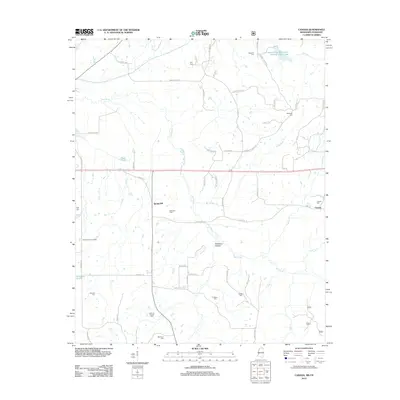
2012 Map of Canaan
USGS Topo · Published 2012About this map
The Wolf River meanders through this landscape on the Mississippi-Tennessee border, defining a territory marked by family cemeteries and rural settlements. The small communities of Spring Hill and Canaan anchor the area, connected by the corridor of HWY 72 and its older predecessor, Old Hwy 72. This map provides a detailed view of the rural heritage of Benton County, featuring numerous family and church burial grounds including Samuel Chapel Cem, McKinzie Cem, and Valentine Cem.
Find a feature on this map
64 named features on this map. Tap any name to fly to it.
Don’t see what you’re looking for? This feature index may not catch every label — zoom into the map to look around manually.
Map Details
Editions of this 2012 Canaan Map
This is the sole edition of this map. No revisions or reprints were ever made.
Other maps of this area

1949 · Moscow
USGS Topo · 1:62,500

1950 · Ashland
USGS Topo · 1:62,500

1950 · Grand Junction
USGS Topo · 1:24,000

1951 · Grand Junction
USGS Topo · 1:24,000

1952 · Saulsbury
USGS Topo · 1:24,000

1953 · Holly Springs
USGS Topo · 1:62,500

1956 · Blytheville
USGS Topo · 1:250,000

1956 · Tupelo
USGS Topo · 1:250,000

1958 · Tupelo
USGS Topo · 1:250,000

1959 · Blytheville
USGS Topo · 1:250,000