2024 Map of Canaan
USGS Topo · Published 2024About this map
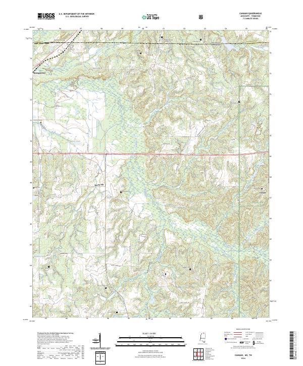
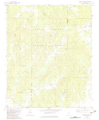
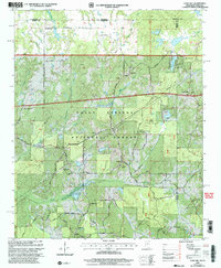
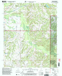
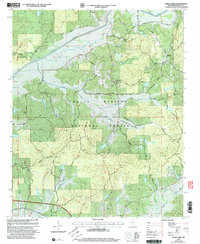
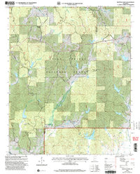
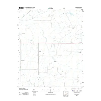
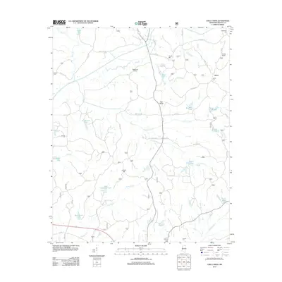
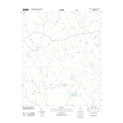
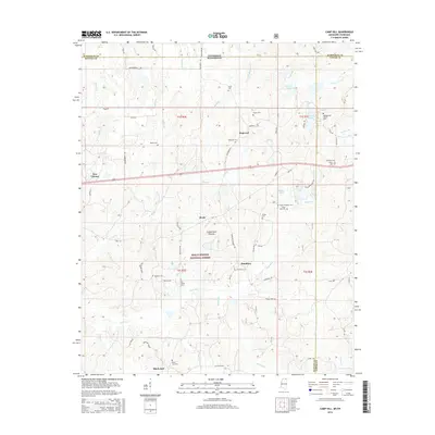
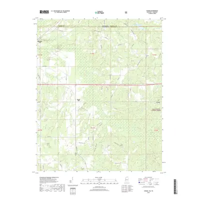
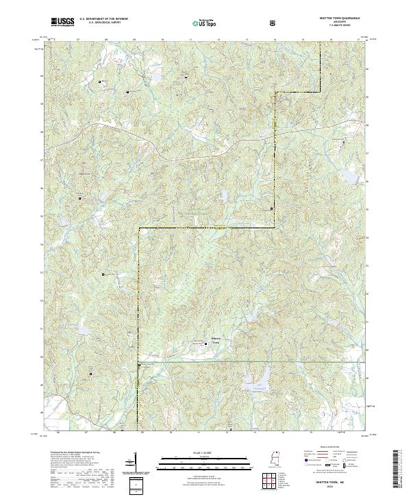
Wolf River and its numerous tributaries, including Indian Creek, Chubby Creek, and Tubby Creek, define the drainage patterns of this border region where Mississippi meets Tennessee. The landscape is dotted with small family and community burial grounds, such as Hill Cem and Valentine Cem, suggesting a long-standing rural settlement pattern concentrated around the crossroads of Michigan City and Spring Hill. In the southeast, the terrain shifts into the Holly Springs National Forest near the settlement of Canaan. The mapping of historic routes like Old Hwy 72 and named geographic features like Mosquito Bend and Robinson Bottom indicates a landscape shaped by its river bottoms and early transportation corridors. Genealogists will find a high density of named cemeteries, including the Saint Paul Skipper Springs Church Cem and Samuel Chapel Cem, which anchor the local history of Benton County.
Find a feature on this map
71 named features on this map. Tap any name to fly to it.
Don’t see what you’re looking for? This feature index may not catch every label — zoom into the map to look around manually.
Map Details
Editions of this 2024 Canaan Map
This is the sole edition of this map. No revisions or reprints were ever made.
Historical Maps of Canaan Through Time
30 maps found
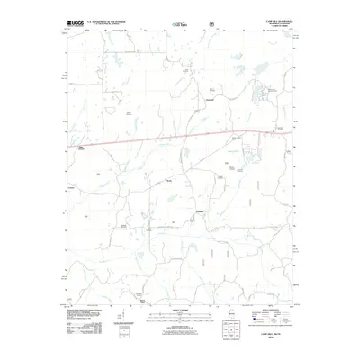
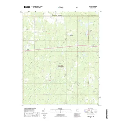
1982 Camp Hill
Benton County, MS
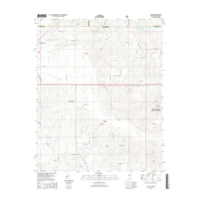
1982 Canaan
Benton County, MS
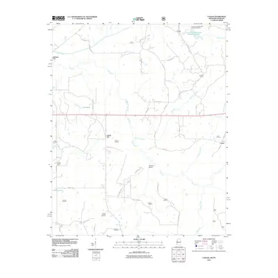
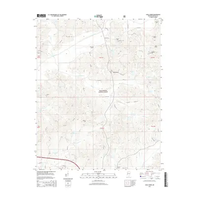
1982 Chilli Creek
Benton County, MS
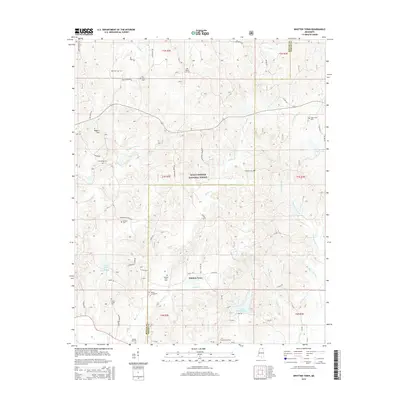
1982 Whitten Town
Benton County, MS
2000 Camp Hill
Benton County, MS
2000 Canaan
Benton County, MS
2000 Chilli Creek
Benton County, MS
2000 Whitten Town
Benton County, MS
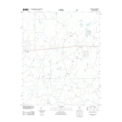
2010 Camp Hill
Benton County, MS
2010 Canaan
Benton County, MS
2012 Camp Hill
Benton County, MS
2012 Canaan
Benton County, MS
2012 Chilli Creek
Benton County, MS
2012 Whitten Town
Benton County, MS
2015 Camp Hill
Benton County, MS
2015 Canaan
Benton County, MS
2015 Chilli Creek
Benton County, MS
2015 Whitten Town
Benton County, MS
2018 Camp Hill
Benton County, MS
2018 Canaan
Benton County, MS
2018 Chilli Creek
Benton County, MS
2018 Whitten Town
Benton County, MS
2021 Camp Hill
Benton County, MS
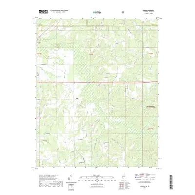
2021 Canaan
Benton County, MS

2021 Chilli Creek
Benton County, MS
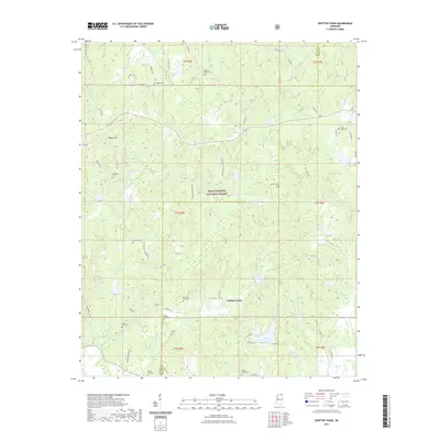
2021 Whitten Town
Benton County, MS
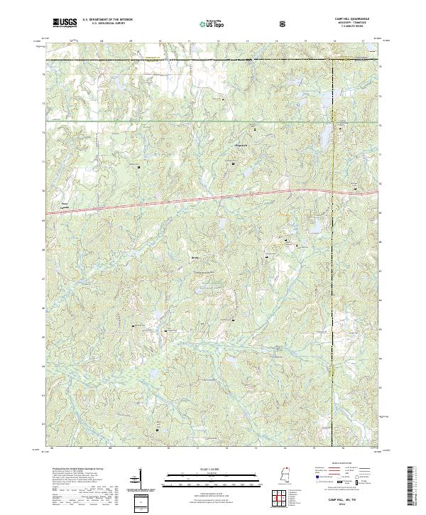
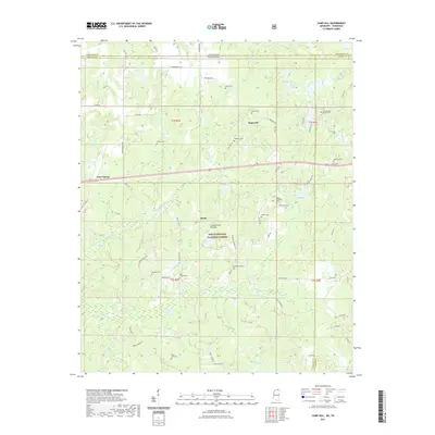
2024 Camp Hill
Benton County, MS
2024 Canaan
Benton County, MS
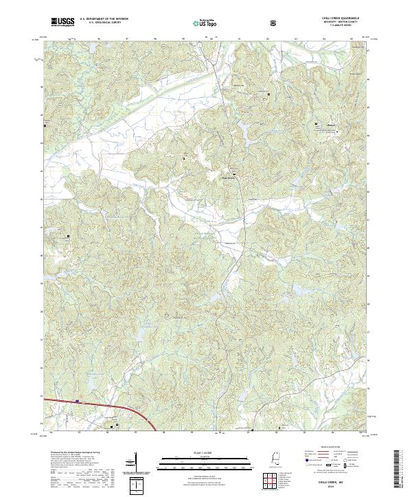
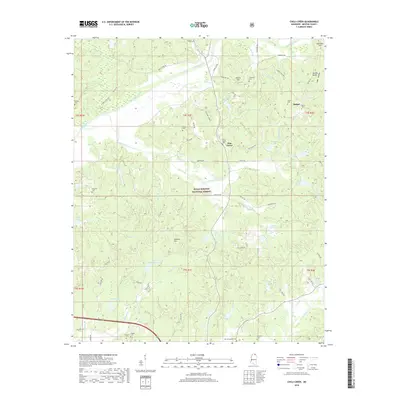
2024 Chilli Creek
Benton County, MS
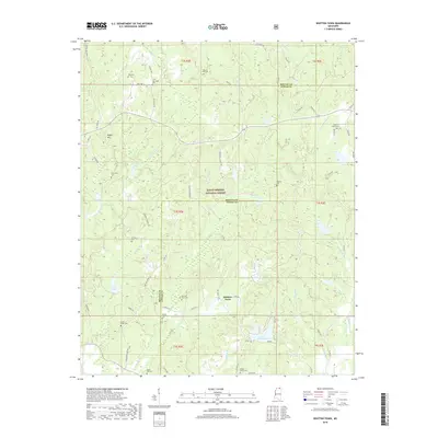
2024 Whitten Town
Benton County, MS