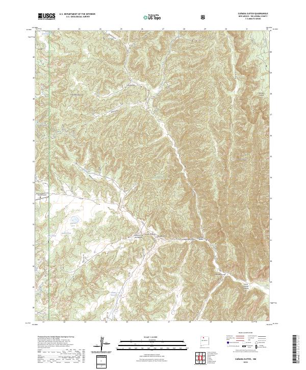
2023 Map of Canada Ojitos
USGS Topo · Published 2023About this map
The Continental Divide defines the western edge of the Santa Fe National Forest in this high-altitude reach of New Mexico. The landscape is characterized by a dense network of cañadas and canyons, including Cañada Ojitos and Cañada Simon, which drain the eastern slopes. A series of livestock tanks and seasonal water sources like Laguna Simon, Laguna Seca, and Largo Spring dot the terrain, reflecting the area's history of ranching and water management in a semi-arid environment.
Find a feature on this map
31 named features on this map. Tap any name to fly to it.
Don’t see what you’re looking for? This feature index may not catch every label — zoom into the map to look around manually.
Map Details
Editions of this 2023 Canada Ojitos Map
This is the sole edition of this map. No revisions or reprints were ever made.
Other maps of this area

1889 · Largo
USGS Topo · 1:250,000

1895 · Largo
USGS Topo · 1:250,000

1909 · Gallina
USGS Topo · 1:125,000

1954 · Aztec
USGS Topo · 1:250,000

1955 · Llaves
USGS Topo · 1:62,500

1955 · Boulder Lake
USGS Topo · 1:62,500

1958 · Aztec
USGS Topo · 1:250,000

1962 · Aztec
USGS Topo · 1:250,000

1963 · Lindrith
USGS Topo · 1:24,000
1963 · Ojito
USGS Topo · 1:24,000