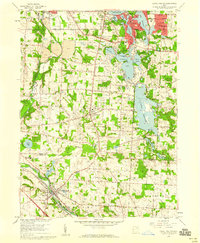
1958 Map of Canal Fulton
USGS Topo · Published 1959About this map
The Ohio Canal and the Tuscarawas River anchor this landscape, reflecting the long-standing water-based transportation and industrial heritage of the region. By the late 1950s, the area had transformed into a major recreational hub, dominated by the expansive Portage Lakes State Park and the large Nimisila Reservoir. The map illustrates a period of suburban transition, where older settlements like Manchester and Lockwood Corners are surrounded by developing residential areas and public institutions, such as the Infant of Prague Villa and St Francis De Sales Sch.
Find a feature on this map
52 named features on this map. Tap any name to fly to it.
Don’t see what you’re looking for? This feature index may not catch every label — zoom into the map to look around manually.
Map Details
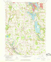
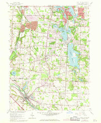
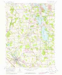
Editions of this 1958 Canal Fulton Map
4 editions found
Other maps of this area

1901 · Massillon
USGS Topo · 1:62,500

1901 · Canton
USGS Topo · 1:62,500

1903 · Massillon
USGS Topo · 1:62,500

1903 · Canton
USGS Topo · 1:62,500

1903 · Akron
USGS Topo · 1:62,500

1905 · Akron
USGS Topo · 1:62,500

1906 · Kent
USGS Topo · 1:62,500

1950 · Cleveland
USGS Topo · 1:250,000

1951 · Canton
USGS Topo · 1:250,000

1953 · Canton
USGS Topo · 1:250,000