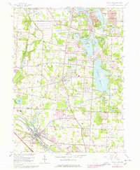
1958 Map of Canal Fulton
USGS Topo · Published 1978About this map
The Ohio and Erie Canal traces the southwestern corner of this map, following the curve of the Tuscarawas River through the settlement of Canal Fulton. This 1958 survey, with updates from the 1970s, illustrates a landscape defined by water management and resource extraction, from the expansive Nimisila Reservoir to the industrial legacy of Salt Well and Brine Wells near Barberton. The center of the map is dominated by the town of Manchester, where local genealogy is anchored by the Manchester Cem and Township Schs. To the north, the Portage Lakes State Park area reveals a dense network of recreational and residential development around Turkeyfoot Lake and Rex Lake. Notable landmarks like the Infant of Prague Villa and the Rodeo Arena reflect the varied social and cultural fabric of Franklin and Coventry townships during this era of mid-century growth.
Find a feature on this map
61 named features on this map. Tap any name to fly to it.
Don’t see what you’re looking for? This feature index may not catch every label — zoom into the map to look around manually.
Map Details
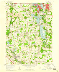
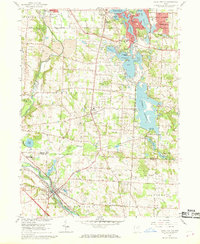
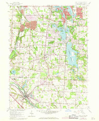
Editions of this 1958 Canal Fulton Map
4 editions found
Other maps of this area

1901 · Massillon
USGS Topo · 1:62,500

1901 · Canton
USGS Topo · 1:62,500

1903 · Massillon
USGS Topo · 1:62,500

1903 · Canton
USGS Topo · 1:62,500

1903 · Akron
USGS Topo · 1:62,500

1905 · Akron
USGS Topo · 1:62,500

1906 · Kent
USGS Topo · 1:62,500

1950 · Cleveland
USGS Topo · 1:250,000

1951 · Canton
USGS Topo · 1:250,000

1953 · Canton
USGS Topo · 1:250,000