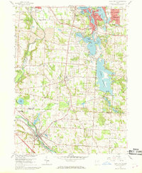
1958 Map of Canal Fulton
USGS Topo · Published 1969About this map
The Tuscarawas River valley defines the character of this late 1950s landscape, where the southern edge of industrial Barberton transitions into the recreational and agricultural corridors of Franklin and Lawrence townships. The map documents an area defined by significant water management and leisure development, notably the Portage Lakes State Park system and the expansive Nimisila Reservoir. These water bodies, including Turkeyfoot Lake and Mud Lake, show a mix of public parkland, youth camps like the YMCA Camp, and private amenities such as the Firestone Country Club.
Find a feature on this map
57 named features on this map. Tap any name to fly to it.
Don’t see what you’re looking for? This feature index may not catch every label — zoom into the map to look around manually.
Map Details
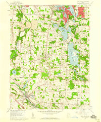
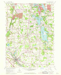
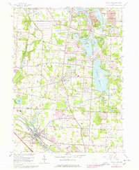
Editions of this 1958 Canal Fulton Map
4 editions found
Other maps of this area

1901 · Massillon
USGS Topo · 1:62,500

1901 · Canton
USGS Topo · 1:62,500

1903 · Massillon
USGS Topo · 1:62,500

1903 · Canton
USGS Topo · 1:62,500

1903 · Akron
USGS Topo · 1:62,500

1905 · Akron
USGS Topo · 1:62,500

1906 · Kent
USGS Topo · 1:62,500

1950 · Cleveland
USGS Topo · 1:250,000

1951 · Canton
USGS Topo · 1:250,000

1953 · Canton
USGS Topo · 1:250,000