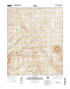
2014 Map of Candle D-4 NW
USGS Topo · Published 2014About this map
The Buckland River meanders through the southwestern corner of this remote Alaskan terrain, where the landscape is defined by the winding paths of several small waterways. The northern reach is crossed by Koobuk Cr and Canyon Cr, while Pack Sack Cr drains the southeastern portion of the map. This 2014 survey documents a largely unpopulated expanse of the Northwest Arctic Borough, highlighting the complex drainage patterns and topographical relief typical of the region. The map provides a detailed view of the watershed transitions between these named creeks, illustrating the natural hydrological network as it existed in the early 21st century.
Find a feature on this map
8 named features on this map. Tap any name to fly to it.
Don’t see what you’re looking for? This feature index may not catch every label — zoom into the map to look around manually.
Map Details
Editions of this 2014 Candle D-4 NW Map
This is the sole edition of this map. No revisions or reprints were ever made.
Other maps of this area

1951 · Candle
USGS Topo · 1:250,000

1951 · Selawik
USGS Topo · 1:250,000

1951 · Candle D-5
USGS Topo · 1:63,360

1951 · Selawik A-5
USGS Topo · 1:63,360

1955 · Candle
USGS Topo · 1:250,000

1955 · Selawik A-4
USGS Topo · 1:63,360

1955 · Candle D-4
USGS Topo · 1:63,360

1957 · Selawik
USGS Topo · 1:250,000

1964 · Candle
USGS Topo · 1:250,000
2014 · Selawik A-4 SW
USGS Topo · 1:25,000