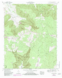
1956 Map of Cane Hollow
USGS Topo · Published 1983About this map
Cumberland Plateau terrain defines this section of the Tennessee landscape, where the Tennessee Valley Divide separates complex drainage systems like Firescald Creek and Negro Creek. The geography is marked by deep coves and prominent points, including Hubbard Cove and Burrow Cove, which illustrate the region's characteristic erosion patterns. Local life centers around rural hubs like Altamont and Hixon, with several country churches and family burial grounds serving as landmarks for genealogists, notably Marvin Chapel, Sanders Chapel, and the Wooten Cem. A Quarry near Cedar Hollow and the Altamont Lookout Tower suggest the primary industries of resource extraction and forestry management. The presence of Camp Skymont (NSA) and various springs, such as Christian Spring, highlights how the natural topography dictated both early settlement and twentieth-century land use.
Find a feature on this map
59 named features on this map. Tap any name to fly to it.
Don’t see what you’re looking for? This feature index may not catch every label — zoom into the map to look around manually.
Map Details
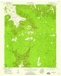
Editions of this 1956 Cane Hollow Map
2 editions found
Other maps of this area

1893 · Mc Minnville
USGS Topo · 1:125,000

1895 · Mc Minnville
USGS Topo · 1:125,000

1895 · Sewanee
USGS Topo · 1:125,000

1936 · Alto
USGS Topo · 1:24,000

1936 · Burrow Cove
USGS Topo · 1:24,000

1936 · Tracy City
USGS Topo · 1:24,000

1936 · Morrison
USGS Topo · 1:24,000

1936 · Hillsboro
USGS Topo · 1:24,000

1936 · Cane Hollow
USGS Topo · 1:24,000

1943 · Mc Minnville
USGS Topo · 1:100,000