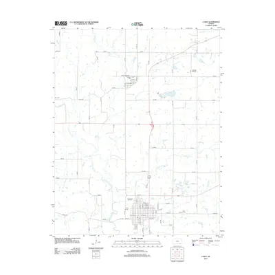
2012 Map of Caney
USGS Topo · Published 2012About this map
The town of Caney anchors this landscape in southeastern Kansas, situated where the Little Caney River meanders south toward the state line. The map captures the community's layout, including the Sunny Side Cem and local landmarks like the Caney Valley Speedway and Caney Airpark. The presence of the Safari Zoological Park east of the town center highlights the area's diverse recreational and community facilities. North of town, the terrain rises toward Round Mound, a prominent natural feature overlooking the drainage basins of Cotton Cr and Bee Cr.
Find a feature on this map
73 named features on this map. Tap any name to fly to it.
Don’t see what you’re looking for? This feature index may not catch every label — zoom into the map to look around manually.
Map Details
Editions of this 2012 Caney Map
This is the sole edition of this map. No revisions or reprints were ever made.
Other maps of this area

1885 · Sedan
USGS Topo · 1:125,000

1886 · Independence
USGS Topo · 1:125,000

1889 · Sedan
USGS Topo · 1:125,000

1894 · Independence
USGS Topo · 1:125,000

1901 · Nowata
USGS Topo · 1:125,000

1905 · Independence
USGS Topo · 1:125,000

1909 · Pawhuska
USGS Topo · 1:125,000

1910 · Pawhuska
USGS Topo · 1:125,000

1914 · Nowata
USGS Topo · 1:125,000

1947 · Joplin
USGS Topo · 1:250,000