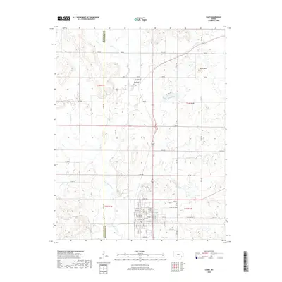
2018 Map of Caney
USGS Topo · Published 2018About this map
The Little Caney River meanders southward through this corner of Montgomery County, defining the agricultural landscape between the communities of Havana and Caney. This 2018 survey illustrates the modern grid of rural roads, such as Co RD 1800 and Co RD 2800, that overlay the historic township and range system. In the northern reaches, Havana Lake sits tucked near the town of Havana, while the local topography is punctuated by Round Mound to the east. For those researching local history, the map precisely identifies the Havana Cem and Sunny Side Cem, providing essential geographic context for family roots. The intricate drainage network, including Coon Cr, Cotton Cr, and Bee Cr, reveals the persistent natural boundaries that have influenced settlement patterns in this part of Kansas for generations.
Find a feature on this map
85 named features on this map. Tap any name to fly to it.
Don’t see what you’re looking for? This feature index may not catch every label — zoom into the map to look around manually.
Map Details
Editions of this 2018 Caney Map
This is the sole edition of this map. No revisions or reprints were ever made.
Other maps of this area

1885 · Sedan
USGS Topo · 1:125,000

1886 · Independence
USGS Topo · 1:125,000

1889 · Sedan
USGS Topo · 1:125,000

1894 · Independence
USGS Topo · 1:125,000

1901 · Nowata
USGS Topo · 1:125,000

1905 · Independence
USGS Topo · 1:125,000

1909 · Pawhuska
USGS Topo · 1:125,000

1910 · Pawhuska
USGS Topo · 1:125,000

1914 · Nowata
USGS Topo · 1:125,000

1947 · Joplin
USGS Topo · 1:250,000