
1962 Map of Caney Mountain
USGS Topo · Published 1964About this map
The Little River winds through a heavily timbered and mountainous portion of Pushmataha County, anchored by the prominent ridges of Kiamichi Mountain and Caney Mountain. In the early 1960s, this area remained largely rural and defined by its isolation, with development concentrated around small, local educational hubs such as East Cloudy Sch and Caney Creek Sch. A small Landing Strip near a bend in the river suggests the importance of aerial access in this remote landscape.
Find a feature on this map
30 named features on this map. Tap any name to fly to it.
Don’t see what you’re looking for? This feature index may not catch every label — zoom into the map to look around manually.
Map Details
Editions of this 1962 Caney Mountain Map
3 editions found
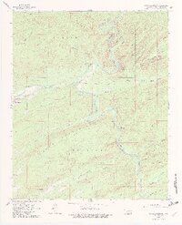
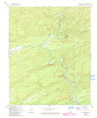
Other maps of this area

1901 · Alikchi
USGS Topo · 1:125,000

1950 · Mcalester
USGS Topo · 1:250,000

1962 · McAlester
USGS Topo · 1:250,000

1962 · Sobol
USGS Topo · 1:24,000

1962 · Alikchi
USGS Topo · 1:24,000

1962 · Signal Mountain
USGS Topo · 1:24,000

1965 · McAlester
USGS Topo · 1:250,000

1971 · Spencerville
USGS Topo · 1:24,000
1972 · Clebit
USGS Topo · 1:24,000
1972 · Cloudy
USGS Topo · 1:24,000