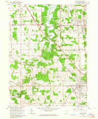
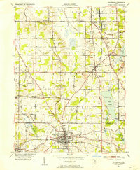
1963 Map of Canfield
USGS Topo · Published 1964About this map
Meander Creek Reservoir bisects this mid-century landscape of Mahoning County, serving as a focal point for the growing communities of Austintown and Canfield. The map reveals a transition from traditional rural patterns to post-war expansion, visible in the cluster of developments near West Austintown and the presence of the Ohio Turnpike cutting across the northern reaches. The area is dotted with institutional landmarks that defined local life, from the St Pauls Monastery in the south to the County Fairgrounds on the eastern edge of Canfield.
Find a feature on this map
70 named features on this map. Tap any name to fly to it.
Don’t see what you’re looking for? This feature index may not catch every label — zoom into the map to look around manually.
Map Details
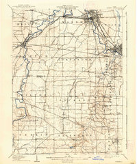
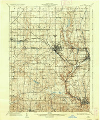
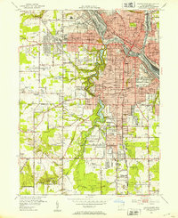
Editions of this 1963 Canfield Map
4 editions found
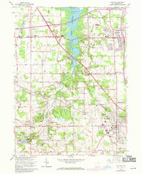
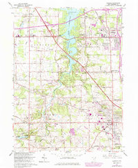
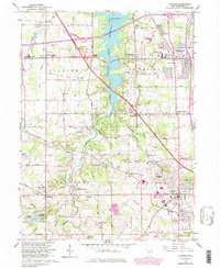
Other maps of this area

1906 · Youngstown
USGS Topo · 1:62,500

1907 · Columbiana
USGS Topo · 1:62,500

1908 · Youngstown
USGS Topo · 1:62,500
1908 · Warren
USGS Topo · 1:62,500
1909 · Lisbon
USGS Topo · 1:62,500

1909 · Columbiana
USGS Topo · 1:62,500

1950 · Cleveland
USGS Topo · 1:250,000

1951 · Canton
USGS Topo · 1:250,000
1951 · Columbiana
USGS Topo · 1:24,000
1951 · Youngstown
USGS Topo · 1:24,000