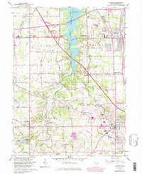
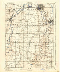
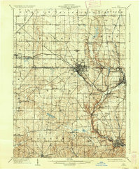
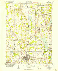
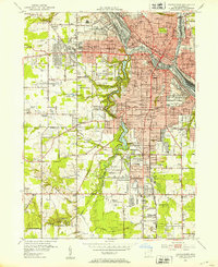
1963 Map of Canfield
USGS Topo · Published 1979About this map
Meander Creek Reservoir bisects this landscape, separating the developing suburban centers of Austintown and West Austintown from the more rural westward townships. The expansion of the Youngstown metropolitan area is evident in the mid-century infrastructure, including the Ohio Turnpike and several shopping centers, yet the map preserves older settlement nodes like Lipkey Corners, Taylor Corners, and Shively Corners. Local history and genealogy are anchored by several burial grounds, such as North Jackson Cem and Dean Hill Cem.
Find a feature on this map
52 named features on this map. Tap any name to fly to it.
Don’t see what you’re looking for? This feature index may not catch every label — zoom into the map to look around manually.
Map Details
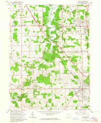
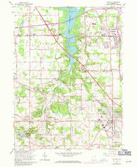
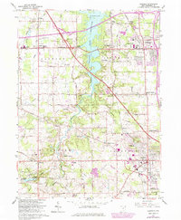
Editions of this 1963 Canfield Map
4 editions found
Other maps of this area

1906 · Youngstown
USGS Topo · 1:62,500

1907 · Columbiana
USGS Topo · 1:62,500

1908 · Youngstown
USGS Topo · 1:62,500
1908 · Warren
USGS Topo · 1:62,500
1909 · Lisbon
USGS Topo · 1:62,500

1909 · Columbiana
USGS Topo · 1:62,500

1950 · Cleveland
USGS Topo · 1:250,000

1951 · Canton
USGS Topo · 1:250,000
1951 · Columbiana
USGS Topo · 1:24,000
1951 · Youngstown
USGS Topo · 1:24,000