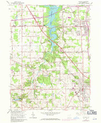
1963 Map of Canfield
USGS Topo · Published 1971About this map
Meander Creek Reservoir bisects this portion of Mahoning County, creating a massive water barrier between the developing townships of Austintown and Jackson. This 1963 survey, with revisions into the early 1970s, captures the post-war suburbanization of the region, evidenced by the expanding Shopping Center and Drive-in Theater near Austintown. The intersection of the Ohio Turnpike and heavy rail lines like the Erie-Lackawanna and Penn Central highlights the area's role as a transportation corridor.
Find a feature on this map
73 named features on this map. Tap any name to fly to it.
Don’t see what you’re looking for? This feature index may not catch every label — zoom into the map to look around manually.
Map Details
Editions of this 1963 Canfield Map
4 editions found
Other maps of this area

1906 · Youngstown
USGS Topo · 1:62,500

1907 · Columbiana
USGS Topo · 1:62,500

1908 · Youngstown
USGS Topo · 1:62,500
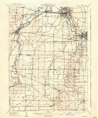
1908 · Warren
USGS Topo · 1:62,500
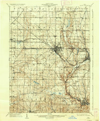
1909 · Lisbon
USGS Topo · 1:62,500

1909 · Columbiana
USGS Topo · 1:62,500

1950 · Cleveland
USGS Topo · 1:250,000

1951 · Canton
USGS Topo · 1:250,000
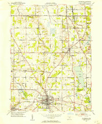
1951 · Columbiana
USGS Topo · 1:24,000
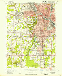
1951 · Youngstown
USGS Topo · 1:24,000