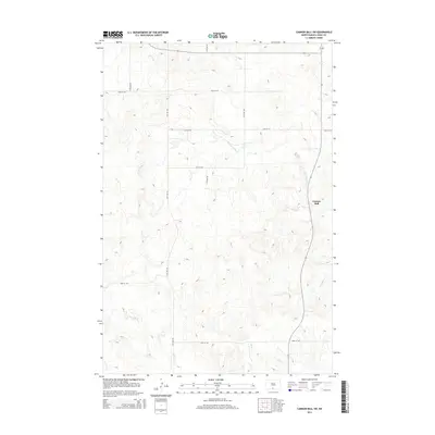
2014 Map of Cannon Ball SW
USGS Topo · Published 2014About this map
Cannon Ball anchors the eastern edge of this landscape, situated near the confluence of local drainages and the regional road network. The terrain is defined by a dendritic drainage system where Beaver Holes Cr and Fool Bear Cr carve through the plains. Further south, Bone Cr and Battle Cr cross the territory, illustrating the natural water sources that have long influenced settlement and land use in this part of Sioux County. The map provides a look at the modern rural infrastructure, defined by a strict grid of section roads like 15th Ave SW and 80th St SW, which overlay the ancient coulees and creek beds. This 2014 survey documents the enduring spatial relationship between these watercourses and the contemporary township and range system.
Find a feature on this map
15 named features on this map. Tap any name to fly to it.
Don’t see what you’re looking for? This feature index may not catch every label — zoom into the map to look around manually.
Map Details
Editions of this 2014 Cannon Ball SW Map
This is the sole edition of this map. No revisions or reprints were ever made.
Other maps of this area

1954 · Bismarck
USGS Topo · 1:250,000

1958 · Bismarck
USGS Topo · 1:250,000

1968 · Cannon Ball
USGS Topo · 1:24,000

1968 · Cannon Ball SE
USGS Topo · 1:24,000

1968 · Fort Yates NW
USGS Topo · 1:24,000

1968 · Cannon Ball NW
USGS Topo · 1:24,000

1968 · Fort Yates NE
USGS Topo · 1:24,000

1968 · Cannon Ball SW
USGS Topo · 1:24,000

1971 · Barren Butte
USGS Topo · 1:24,000

1971 · Half Timber Butte
USGS Topo · 1:24,000