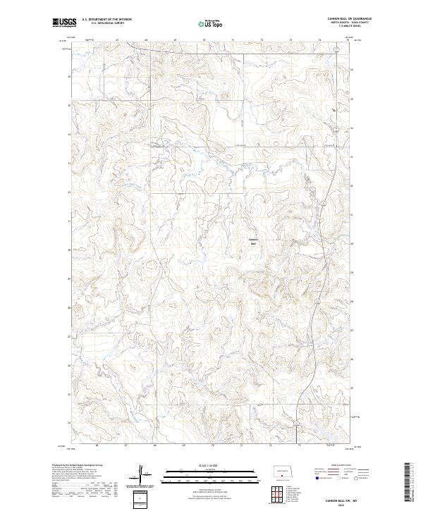
2024 Map of Cannon Ball SW
USGS Topo · Published 2024About this map
Cannon Ball anchors this section of Sioux County, where the landscape is defined by the winding drainages that feed toward the Missouri River basin. The intricate network of waterways including Beaver Holes Creek and Foot Bear Creek carves through the terrain, illustrating the natural erosion patterns of the northern plains. This 2024 topographic study by the U.S. Department of the Interior and U.S. Geological Survey shows a rural environment where section-line roads like 14th Ave and S Big Lake Rd provide the primary framework for movement. To the south, Battle Creek and Bone Creek cut across the township boundaries of t132n r80w, revealing the persistent importance of water access in this semi-arid region of North Dakota.
Find a feature on this map
17 named features on this map. Tap any name to fly to it.
Don’t see what you’re looking for? This feature index may not catch every label — zoom into the map to look around manually.
Map Details
Editions of this 2024 Cannon Ball SW Map
This is the sole edition of this map. No revisions or reprints were ever made.
Other maps of this area

1954 · Bismarck
USGS Topo · 1:250,000

1958 · Bismarck
USGS Topo · 1:250,000

1968 · Cannon Ball
USGS Topo · 1:24,000

1968 · Cannon Ball SE
USGS Topo · 1:24,000

1968 · Fort Yates NW
USGS Topo · 1:24,000

1968 · Cannon Ball NW
USGS Topo · 1:24,000

1968 · Fort Yates NE
USGS Topo · 1:24,000

1968 · Cannon Ball SW
USGS Topo · 1:24,000

1971 · Barren Butte
USGS Topo · 1:24,000

1971 · Half Timber Butte
USGS Topo · 1:24,000