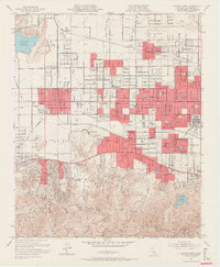
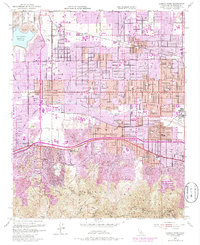
1952 Map of Canoga Park
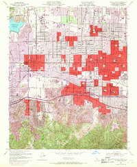
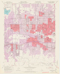
USGS Topo · Published 1966About this map
The Santa Monica Mountains rise sharply above the expanding residential grids of the San Fernando Valley in this mid-century portrait of suburban transformation. While established neighborhoods like Canoga Park and Reseda show dense development, large tracts of open land remain dedicated to specialized institutions and agriculture. The sprawling C W Pierce School of Agr and the RKO Ranch signify a landscape still transitioning from its cinematic and pastoral roots to a major metropolitan hub.
Find a feature on this map
74 named features on this map. Tap any name to fly to it.
Don’t see what you’re looking for? This feature index may not catch every label — zoom into the map to look around manually.
Map Details
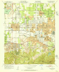
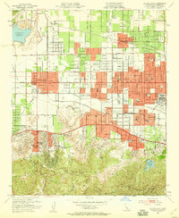
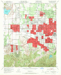
Editions of this 1952 Canoga Park Map
7 editions found
Other maps of this area

1894 · Los Angeles
USGS Topo · 1:62,500

1896 · Santa Monica
USGS Topo · 1:62,500

1898 · Santa Monica
USGS Topo · 1:62,500

1900 · Los Angeles
USGS Topo · 1:62,500

1900 · Fernando
USGS Topo · 1:62,500

1901 · Southern California Sheet No. 1
USGS Topo · 1:250,000

1902 · Santa Monica
USGS Topo · 1:62,500

1903 · Calabasas
USGS Topo · 1:62,500

1903 · Camulos
USGS Topo · 1:125,000

1903 · Santa Susana
USGS Topo · 1:62,500