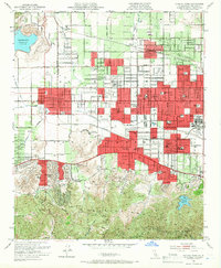
1952 Map of Canoga Park
USGS Topo · Published 1966About this map
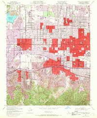
The San Fernando Valley was undergoing rapid suburbanization when these 1952 revisions were recorded, with residential red-tinted zones expanding across Northridge, Reseda, and Canoga Park. Despite the growth, large agricultural and institutional tracts remain, such as the C W Pierce School of Agr and the RKO Ranch. The Southern Pacific railroad line anchors the industrial corridor, while the Los Angeles River and Arroyo Calabasas define the drainage patterns of the valley floor. To the south, the Santa Monica Mountains rise sharply, containing the Encino Reservoir and Glenview. Notable landmarks like the Ridgewood Military Academy and Birmingham High Sch reflect the era's educational landscape, while the Sepulveda Flood Control Basin illustrates the massive engineering efforts required to manage the region's seasonal runoff.
Find a feature on this map
78 named features on this map. Tap any name to fly to it.
Don’t see what you’re looking for? This feature index may not catch every label — zoom into the map to look around manually.
Map Details
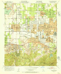
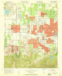
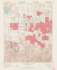
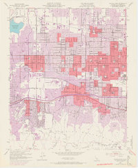
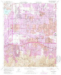
Editions of this 1952 Canoga Park Map
7 editions found
Other maps of this area

1894 · Los Angeles
USGS Topo · 1:62,500

1896 · Santa Monica
USGS Topo · 1:62,500

1898 · Santa Monica
USGS Topo · 1:62,500

1900 · Los Angeles
USGS Topo · 1:62,500

1900 · Fernando
USGS Topo · 1:62,500

1901 · Southern California Sheet No. 1
USGS Topo · 1:250,000

1902 · Santa Monica
USGS Topo · 1:62,500

1903 · Calabasas
USGS Topo · 1:62,500

1903 · Camulos
USGS Topo · 1:125,000

1903 · Santa Susana
USGS Topo · 1:62,500