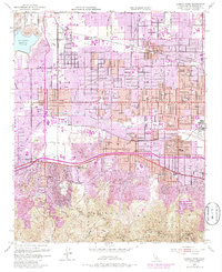
1952 Map of Canoga Park
USGS Topo · Published 1986About this map
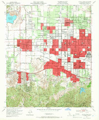
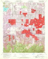
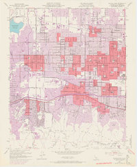
San Fernando Valley suburbanization is in full swing here, where the burgeoning neighborhoods of Canoga Park, Winnetka, and Reseda meet the foothills. This 1952 survey, updated with 1967 aerial data shown in purple, reveals the transition from open ranch land to dense residential blocks. Large institutions like the Birmingham General Hospital and San Fernando Valley State College sit alongside older landmarks such as the RKO Ranch and Pacific Lodge Boys Home. To the south, the terrain shifts abruptly as the Santa Monica Mountains rise, defined by the winding course of Mulholland Drive and Mulholland Highway. The Los Angeles River cuts through the center of the valley, while the Southern Pacific railroad maintains industrial presence with the Tarzana Siding and Encino Siding.
Find a feature on this map
63 named features on this map. Tap any name to fly to it.
Don’t see what you’re looking for? This feature index may not catch every label — zoom into the map to look around manually.
Map Details
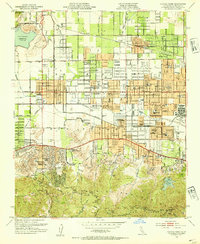
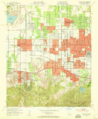
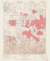
Editions of this 1952 Canoga Park Map
7 editions found
Other maps of this area

1894 · Los Angeles
USGS Topo · 1:62,500

1896 · Santa Monica
USGS Topo · 1:62,500

1898 · Santa Monica
USGS Topo · 1:62,500

1900 · Los Angeles
USGS Topo · 1:62,500

1900 · Fernando
USGS Topo · 1:62,500

1901 · Southern California Sheet No. 1
USGS Topo · 1:250,000

1902 · Santa Monica
USGS Topo · 1:62,500

1903 · Calabasas
USGS Topo · 1:62,500

1903 · Camulos
USGS Topo · 1:125,000

1903 · Santa Susana
USGS Topo · 1:62,500