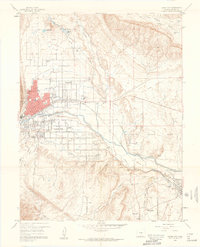
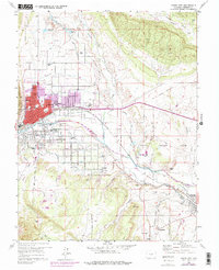
1959 Map of Canon City
USGS Topo · Published 1961About this map
The Arkansas River corridor serves as the industrial and agricultural lifeline for Fremont County in the late 1950s, anchoring a network of irrigation systems including the Hydraulic Ditch and Oil Creek Ditch. The landscape is defined by the coexistence of institutional, residential, and industrial land use, most notably the expansive State Prison Farm situated east of the city center. This period captures Canon City and Lincoln Park as established hubs of activity, while the surrounding hills are marked by an old railroad grade and numerous mines that reflect the region's extractive history.
Find a feature on this map
84 named features on this map. Tap any name to fly to it.
Don’t see what you’re looking for? This feature index may not catch every label — zoom into the map to look around manually.
Map Details
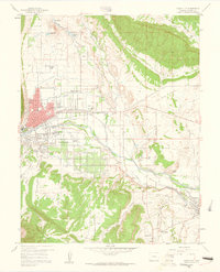
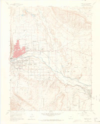
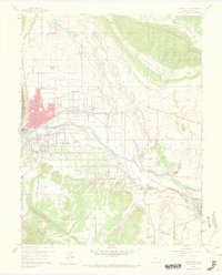
Editions of this 1959 Canon City Map
5 editions found
Other maps of this area

1889 · Canon City
USGS Topo · 1:125,000

1892 · Canon City
USGS Topo · 1:125,000

1894 · Pikes Peak
USGS Topo · 1:125,000

1901 · Pikes Peak
USGS Topo · 1:125,000

1942 · Cover Mtn.
USGS Topo · 1:62,500

1948 · Cover Mtn.
USGS Topo · 1:62,500

1954 · Phantom Canyon
USGS Topo · 1:24,000

1954 · Cooper Mountain
USGS Topo · 1:24,000

1954 · Pueblo
USGS Topo · 1:250,000

1957 · Pueblo
USGS Topo · 1:250,000