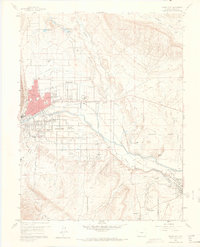
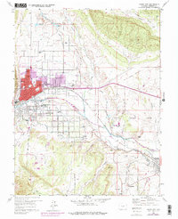
1959 Map of Canon City
USGS Topo · Published 1968About this map
The Arkansas River corridor in the late 1950s serves as the industrial and agricultural backbone for several Fremont County communities. The map detail highlights a complex network of irrigation, including the Park Center Ditch, Oil Creek Ditch, and Hydraulic Ditch, which supported the orchards of Orchard Park and East Canon. The southern reaches of Canon City show a transition from the urban grid to more specialized land use, such as the extensive State Prison Farm and the residential layouts of Lincoln Park and Prospect Heights.
Find a feature on this map
68 named features on this map. Tap any name to fly to it.
Don’t see what you’re looking for? This feature index may not catch every label — zoom into the map to look around manually.
Map Details
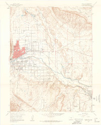
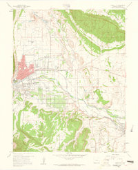
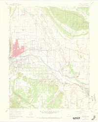
Editions of this 1959 Canon City Map
5 editions found
Other maps of this area

1889 · Canon City
USGS Topo · 1:125,000

1892 · Canon City
USGS Topo · 1:125,000

1894 · Pikes Peak
USGS Topo · 1:125,000

1901 · Pikes Peak
USGS Topo · 1:125,000

1942 · Cover Mtn.
USGS Topo · 1:62,500

1948 · Cover Mtn.
USGS Topo · 1:62,500

1954 · Phantom Canyon
USGS Topo · 1:24,000

1954 · Cooper Mountain
USGS Topo · 1:24,000

1954 · Pueblo
USGS Topo · 1:250,000

1957 · Pueblo
USGS Topo · 1:250,000