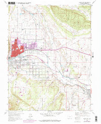
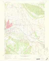
1959 Map of Canon City
USGS Topo · Published 1978About this map
The Arkansas River corridor serves as the industrial and agricultural lifeline for this portion of Fremont County, anchoring the urban center of Canon City. The landscape reveals a complex network of irrigation, featuring the Park Center Ditch and Hydraulic Ditch, which support the orchards and fields of Lincoln Park and Orchard Park. South of the river, the economy transitions toward extraction and incarceration, evidenced by numerous oil wells and the expansive State Prison Farm. Rail infrastructure is prominent, with the Denver and Rio Grande Western Railroad following the riverbanks, while the Atchison Topeka and Santa Fe Railroad serves the southern coal and clay-producing districts near Rockvale and Williamsburg. Genealogists will find significant detail in the multiple burial grounds, including Lakeside Cemetery and Mountain Vale Memory Gardens.
Find a feature on this map
77 named features on this map. Tap any name to fly to it.
Don’t see what you’re looking for? This feature index may not catch every label — zoom into the map to look around manually.
Map Details
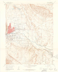
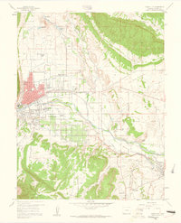
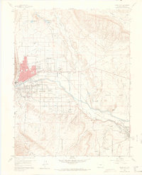
Editions of this 1959 Canon City Map
5 editions found
Other maps of this area

1889 · Canon City
USGS Topo · 1:125,000

1892 · Canon City
USGS Topo · 1:125,000

1894 · Pikes Peak
USGS Topo · 1:125,000

1901 · Pikes Peak
USGS Topo · 1:125,000

1942 · Cover Mtn.
USGS Topo · 1:62,500

1948 · Cover Mtn.
USGS Topo · 1:62,500

1954 · Phantom Canyon
USGS Topo · 1:24,000

1954 · Cooper Mountain
USGS Topo · 1:24,000

1954 · Pueblo
USGS Topo · 1:250,000

1957 · Pueblo
USGS Topo · 1:250,000