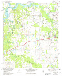
1981 Map of Cantelous
USGS Topo · Published 1982About this map
The Alabama River winds through the northwest corner of this landscape, defining the border between Autauga and Montgomery counties near O'Possum Bight Bar. In the early 1980s, this area southwest of Montgomery shows a transition from the riparian lowlands of Pintlalla Creek to the industrial and aviation hubs closer to the city center. The presence of Dannelly Field and its adjacent Army National Guard facilities, along with a portion of Maxwell Air Force Base, underscores the strategic military footprint in the region.
Find a feature on this map
74 named features on this map. Tap any name to fly to it.
Don’t see what you’re looking for? This feature index may not catch every label — zoom into the map to look around manually.
Map Details
Editions of this 1981 Cantelous Map
2 editions found
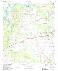
Other maps of this area

1927 · Montgomery
USGS Topo · 1:48,000

1930 · Montgomery
USGS Topo · 1:62,500

1953 · Montgomery
USGS Topo · 1:250,000

1956 · Montgomery
USGS Topo · 1:250,000

1957 · Montgomery
USGS Topo · 1:250,000

1957 · Letohatchee
USGS Topo · 1:62,500

1957 · Autaugaville
USGS Topo · 1:62,500

1958 · Montgomery
USGS Topo · 1:62,500

1958 · Montgomery North
USGS Topo · 1:24,000

1958 · Montgomery South
USGS Topo · 1:24,000