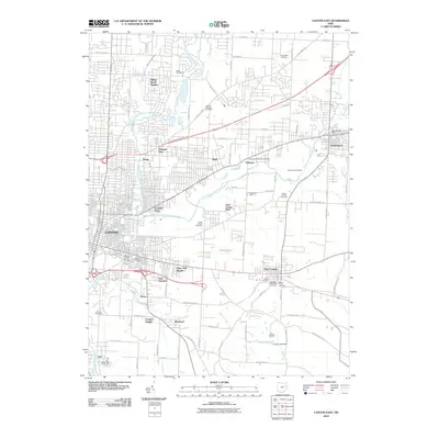
2010 Map of Canton East
USGS Topo · Published 2010About this map
Nimishillen Creek and its various branches create a branching aquatic framework for the eastern expansion of Canton and neighboring Louisville. This 2010 survey illustrates the suburban and industrial transition of Stark County, where established neighborhoods like Crystal Park and Willow Brook Heights meet the agricultural traditions of Varian Orchards. The landscape is dotted with significant genealogical markers, including Henry Cemetery, Saint Louis Cemetery, and the Hebrew Cemetery near Orchard Heights.
Find a feature on this map
83 named features on this map. Tap any name to fly to it.
Don’t see what you’re looking for? This feature index may not catch every label — zoom into the map to look around manually.
Map Details
Editions of this 2010 Canton East Map
This is the sole edition of this map. No revisions or reprints were ever made.
Other maps of this area

1901 · Canton
USGS Topo · 1:62,500

1903 · Canton
USGS Topo · 1:62,500

1909 · Alliance
USGS Topo · 1:62,500

1910 · Carrollton
USGS Topo · 1:62,500

1912 · Dover
USGS Topo · 1:62,500

1912 · Carrollton
USGS Topo · 1:62,500

1944 · Dover
USGS Topo · 1:62,500

1951 · Canton
USGS Topo · 1:250,000

1951 · Bolivar
USGS Topo · 1:24,000

1953 · Canton
USGS Topo · 1:250,000