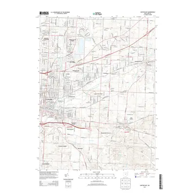
2013 Map of Canton East
USGS Topo · Published 2013About this map
Canton and its eastern suburbs are detailed here just as the city’s industrial and residential footprint continued to evolve along the Middle Branch Nimishillen Creek. The map documents a dense network of suburban developments including Willow Brook Heights, Pleasant View Village, and Trump, which surround the municipal Canton Waterworks. To the east, the city of Louisville and the village of East Canton serve as secondary hubs, connected by historically significant corridors like Lincoln St E and Atlantic Blvd NE.
Find a feature on this map
76 named features on this map. Tap any name to fly to it.
Don’t see what you’re looking for? This feature index may not catch every label — zoom into the map to look around manually.
Map Details
Editions of this 2013 Canton East Map
This is the sole edition of this map. No revisions or reprints were ever made.
Other maps of this area

1901 · Canton
USGS Topo · 1:62,500

1903 · Canton
USGS Topo · 1:62,500

1909 · Alliance
USGS Topo · 1:62,500

1910 · Carrollton
USGS Topo · 1:62,500

1912 · Dover
USGS Topo · 1:62,500

1912 · Carrollton
USGS Topo · 1:62,500

1944 · Dover
USGS Topo · 1:62,500

1951 · Canton
USGS Topo · 1:250,000

1951 · Bolivar
USGS Topo · 1:24,000

1953 · Canton
USGS Topo · 1:250,000