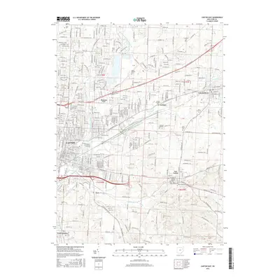
2016 Map of Canton East
USGS Topo · Published 2016About this map
Canton and its eastern suburbs form a dense network of residential streets and industrial corridors along the forks of the Nimishillen Creek. The suburban expansion includes established communities like Pleasant View, Fairhope, and East Canton, while Walsh Univ occupies a significant campus footprint in the northern section. This 2016 survey documents the intricate street grid of the region, where major thoroughfares such as Tuscarawas St E and Atlantic Blvd NE facilitate movement between the urban core and the outlying city of Louisville.
Find a feature on this map
47 named features on this map. Tap any name to fly to it.
Don’t see what you’re looking for? This feature index may not catch every label — zoom into the map to look around manually.
Map Details
Editions of this 2016 Canton East Map
This is the sole edition of this map. No revisions or reprints were ever made.
Other maps of this area

1901 · Canton
USGS Topo · 1:62,500

1903 · Canton
USGS Topo · 1:62,500

1909 · Alliance
USGS Topo · 1:62,500

1910 · Carrollton
USGS Topo · 1:62,500

1912 · Dover
USGS Topo · 1:62,500

1912 · Carrollton
USGS Topo · 1:62,500

1944 · Dover
USGS Topo · 1:62,500

1951 · Canton
USGS Topo · 1:250,000

1951 · Bolivar
USGS Topo · 1:24,000

1953 · Canton
USGS Topo · 1:250,000