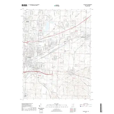
2019 Map of Canton East
USGS Topo · Published 2019About this map
The Stark County Courthouse and the industrial corridors of Canton anchor this 2019 survey, showing the complex urban and suburban development within the Tuscarawas River watershed. The landscape is defined by the convergence of the Middle Branch and East Branch Nimishillen Creek, which historically dictated the growth patterns of the city and its surrounding boroughs. From the institutional grounds of Walsh University in the northwest to the smaller settlements of East Canton, Louisville, and Waco, the map captures a modern snapshot of eastern Stark County. Genealogists will find a high density of burial grounds throughout the quadrangle, including the Hebrew Cem, Saint Louis Cem, and Kountze Memorial Cem. Outside the urban center, the terrain transitions into the recreation-focused areas around Valley Lake and Varian Lake, illustrating the post-industrial character of the Ohio landscape.
Find a feature on this map
46 named features on this map. Tap any name to fly to it.
Don’t see what you’re looking for? This feature index may not catch every label — zoom into the map to look around manually.
Map Details
Editions of this 2019 Canton East Map
This is the sole edition of this map. No revisions or reprints were ever made.
Other maps of this area

1901 · Canton
USGS Topo · 1:62,500

1903 · Canton
USGS Topo · 1:62,500

1909 · Alliance
USGS Topo · 1:62,500

1910 · Carrollton
USGS Topo · 1:62,500

1912 · Dover
USGS Topo · 1:62,500

1912 · Carrollton
USGS Topo · 1:62,500

1944 · Dover
USGS Topo · 1:62,500

1951 · Canton
USGS Topo · 1:250,000

1951 · Bolivar
USGS Topo · 1:24,000

1953 · Canton
USGS Topo · 1:250,000