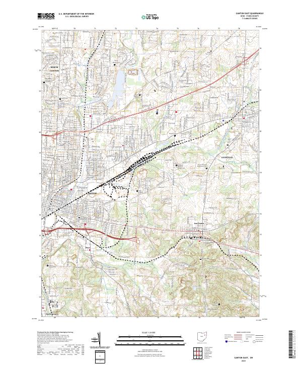
2023 Map of Canton East
USGS Topo · Published 2023About this map
The urban and suburban landscape east of Canton is defined by its deep roots in local heritage and industry. This modern survey shows a dense concentration of historical burial grounds and religious sites, ranging from the Sancta Clara Monastery Cem and Saint Marks Episcopal Church Columbarium in the northwest to the Canton Hebrew Cem near North Industry. These sites, along with the Henry Warstler Cem and Mount Tabor United Methodist Church Cem, provide essential data points for genealogists tracing families in Stark County.
Find a feature on this map
62 named features on this map. Tap any name to fly to it.
Don’t see what you’re looking for? This feature index may not catch every label — zoom into the map to look around manually.
Map Details
Editions of this 2023 Canton East Map
This is the sole edition of this map. No revisions or reprints were ever made.
Other maps of this area

1901 · Canton
USGS Topo · 1:62,500

1903 · Canton
USGS Topo · 1:62,500

1909 · Alliance
USGS Topo · 1:62,500

1910 · Carrollton
USGS Topo · 1:62,500

1912 · Dover
USGS Topo · 1:62,500

1912 · Carrollton
USGS Topo · 1:62,500

1944 · Dover
USGS Topo · 1:62,500

1951 · Canton
USGS Topo · 1:250,000

1951 · Bolivar
USGS Topo · 1:24,000

1953 · Canton
USGS Topo · 1:250,000