Loading...
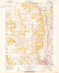
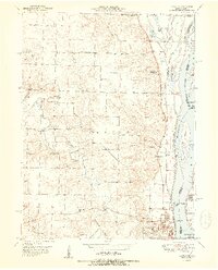
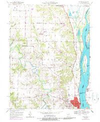
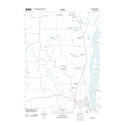
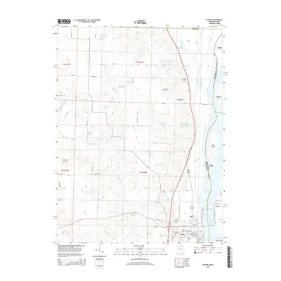
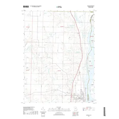
Loading map...1951 Map of Canton
USGS Topo · Published 1951About this map
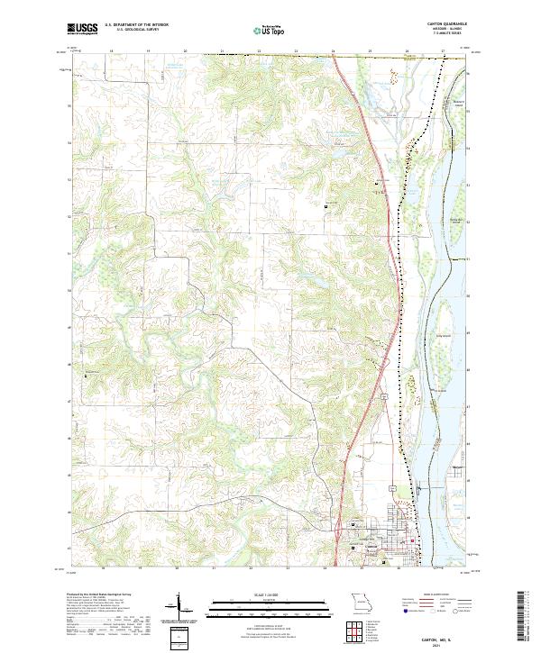
Culver-Stockton College anchors the riverfront town of Canton in this mid-century Missouri survey, where the local economy and geography are defined by the Mississippi River. The Chicago Burlington and Quincy railroad runs parallel to the water, passing through a landscape of river-bottom ponds like Round Pond and Long Pond. Further inland, the terrain is defined by the winding course of the Wyaconda River and its various tributaries, including Artesian Branch and Sugar Creek.
Find a feature on this map
45 named features on this map. Tap any name to fly to it.
Don’t see what you’re looking for? This feature index may not catch every label — zoom into the map to look around manually.
Map Details
Date Portrayed1951
Date Published1951
PublisherU.S. Geological Survey
Map TypeTopographic
Scale1:24,000
Physical Dimensions21.9 x 26.8 inches
Editions of this 1951 Canton Map
2 editions found
Historical Maps of Canton Through Time
6 maps found
Featured Locations
Source Details
SourceU.S. Geological Survey
CopyrightPublic Domain