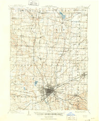
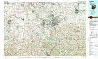
1986 Map of Canton
USGS Topo · Published 1986About this map
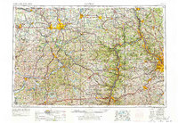
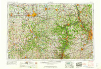
Industrial hubs and agricultural townships converge in this mid-1980s composite of Northeastern Ohio. The urban density of Canton and Massillon dominates the central landscape, connected by the Norfolk and Western Railway and early interstate corridors. In the east, Alliance serves as a significant rail junction for Conrail, while Wooster anchors the western edge near the Killbuck Marsh State Wildlife Area. This period illustrates the established infrastructure of the region, from the Akron-Canton Airport in the north to the extensive water management systems of the Muskingum Watershed Conservancy District in the south.
Find a feature on this map
125 named features on this map. Tap any name to fly to it.
Don’t see what you’re looking for? This feature index may not catch every label — zoom into the map to look around manually.
Map Details
Editions of this 1986 Canton Map
2 editions found
Historical Maps of Akron Through Time
7 maps found