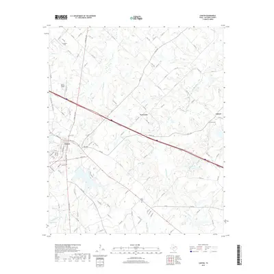
2019 Map of Canton
USGS Topo · Published 2019About this map
Canton serves as the focal point of this East Texas survey, where the intersection of major thoroughfares like N Trade Days Blvd and local streets defines the town's modern layout. The landscape is characterized by a dense network of tributaries including Mill Cr, Mustang Cr, and Grand Saline Cr that drain the undulating terrain. To the east and south of the city center, smaller communities like Red Hill, Wentworth, and Oakland maintain a more dispersed rural character, anchored by local landmarks such as Morris Chapel Cem and Oakland Cem.
Find a feature on this map
119 named features on this map. Tap any name to fly to it.
Don’t see what you’re looking for? This feature index may not catch every label — zoom into the map to look around manually.
Map Details
Editions of this 2019 Canton Map
This is the sole edition of this map. No revisions or reprints were ever made.
Other maps of this area

1948 · Brownsboro
USGS Topo · 1:62,500

1948 · Martins Mill
USGS Topo · 1:62,500

1949 · Martins Mill
USGS Topo · 1:62,500

1949 · Brownsboro
USGS Topo · 1:62,500

1956 · Tyler
USGS Topo · 1:250,000

1959 · Grand Saline
USGS Topo · 1:24,000

1959 · Van
USGS Topo · 1:24,000

1959 · Grand Saline
USGS Topo · 1:62,500

1962 · Myrtle Springs
USGS Topo · 1:24,000
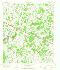
1962 · Canton
USGS Topo · 1:24,000