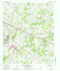
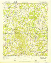
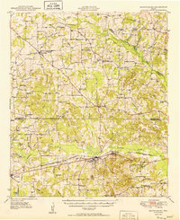
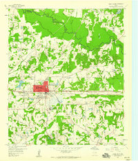
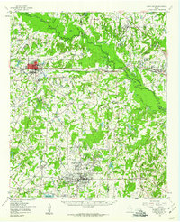
1962 Map of Canton
USGS Topo · Published 1982About this map
The Canton townsite serves as the central hub of this Van Zandt County landscape, which underwent significant documentation during the early 1960s. The geography is defined by a dense network of tributaries including Mustang Creek, Martins Mills Creek, and Grand Saline Creek, which drain the varied terrain of the Fruitvale Oil Field and the surrounding woodlands. Local community life is anchored by a significant number of rural landmarks, such as Mt Pisgah Ch and the Little Hope-Moore Community Center.
Find a feature on this map
44 named features on this map. Tap any name to fly to it.
Don’t see what you’re looking for? This feature index may not catch every label — zoom into the map to look around manually.
Map Details
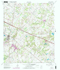
Editions of this 1962 Canton Map
3 editions found
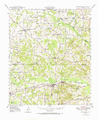
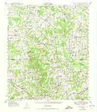
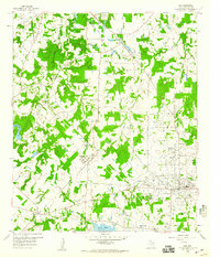
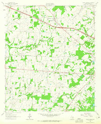
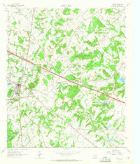
Other maps of this area
1948 · Brownsboro
USGS Topo · 1:62,500
1948 · Martins Mill
USGS Topo · 1:62,500
1949 · Martins Mill
USGS Topo · 1:62,500
1949 · Brownsboro
USGS Topo · 1:62,500

1956 · Tyler
USGS Topo · 1:250,000
1959 · Grand Saline
USGS Topo · 1:24,000
1959 · Van
USGS Topo · 1:24,000
1959 · Grand Saline
USGS Topo · 1:62,500
1962 · Myrtle Springs
USGS Topo · 1:24,000
1962 · Canton
USGS Topo · 1:24,000