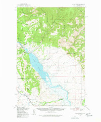
1950 Map of Canyon Ferry
USGS Topo · Published 1956About this map
Canyon Ferry Dam anchors this mid-century Missouri River survey, capturing a landscape in transition as the reservoir rises behind it. The map documents the original location of Old Canyon Ferry alongside the newer infrastructure being developed by the Bureau of Reclamation. To the north, the Big Belt Mountains are etched with countless mining-era drainages like Magpie Creek and Hellgate Gulch, where the Argo Mine sits as a remnant of earlier prospecting.
Find a feature on this map
79 named features on this map. Tap any name to fly to it.
Don’t see what you’re looking for? This feature index may not catch every label — zoom into the map to look around manually.
Map Details
Editions of this 1950 Canyon Ferry Map
3 editions found
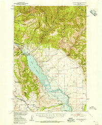
Other maps of this area

1886 · Fort Logan
USGS Topo · 1:250,000

1948 · White Sulphur Springs
USGS Topo · 1:250,000

1950 · Canyon Ferry
USGS Topo · 1:62,500

1950 · Townsend
USGS Topo · 1:62,500

1950 · Duck Creek Pass
USGS Topo · 1:62,500

1950 · East Helena
USGS Topo · 1:62,500

1950 · Clancy
USGS Topo · 1:62,500

1958 · White Sulphur Springs
USGS Topo · 1:250,000

1961 · White Sulphur Springs
USGS Topo · 1:250,000

1962 · Hogback Mountain
USGS Topo · 1:24,000