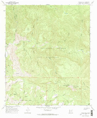
1965 Map of Canyon Hill
USGS Topo · Published 1970About this map
Indian Ruins and the Rastus Place offer evidence of human presence within this remote section of the Gila National Forest during the mid-1960s. The landscape is defined by the deep incision of the Gila River and a dense network of drainages including Turkey Canyon, Hells Canyon, and Bill Utah Canyon. The transition from the high peaks of the Pinos Altos Range and Goose Lake Ridge down to the river basin is marked by traditional land markers like Cottonwood Spring and Seep Springs.
Find a feature on this map
47 named features on this map. Tap any name to fly to it.
Don’t see what you’re looking for? This feature index may not catch every label — zoom into the map to look around manually.
Map Details
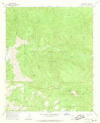
Editions of this 1965 Canyon Hill Map
2 editions found
Other maps of this area

1909 · Silver City
USGS Topo · 1:125,000

1910 · Mogollon
USGS Topo · 1:125,000

1911 · Alum Mountain
USGS Topo · 1:125,000

1912 · Mogollon
USGS Topo · 1:125,000

1913 · Alum Mountain
USGS Topo · 1:125,000

1950 · Dorsey Ranch
USGS Topo · 1:24,000

1950 · Reading Mountain
USGS Topo · 1:24,000

1951 · Dorsey Ranch
USGS Topo · 1:24,000
1952 · Reading Mountain
USGS Topo · 1:24,000

1954 · Silver City
USGS Topo · 1:250,000