
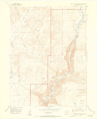
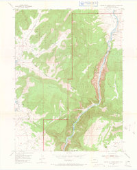
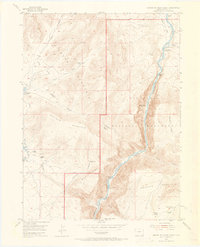
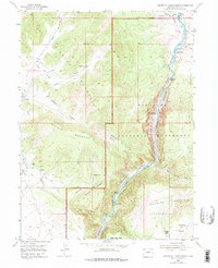
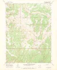
1954 Map of Canyon of Lodore North
USGS Topo · Published 1955About this map
Green River rapids carve through the high desert plateaus of Moffat County in this mid-century survey. The dramatic corridor of the Canyon of Lodore dominates the eastern half of the sheet, featuring the treacherous Upper Disaster Falls and Lower Disaster Falls. This terrain is framed by massive uplifts, including Diamond Mountain and Offield Mountain, which isolate the deep basins and canyons of Dinosaur National Monument.
Find a feature on this map
39 named features on this map. Tap any name to fly to it.
Don’t see what you’re looking for? This feature index may not catch every label — zoom into the map to look around manually.
Map Details
Editions of this 1954 Canyon of Lodore North Map
5 editions found
Other maps of this area

1885 · Ashley
USGS Topo · 1:250,000

1952 · Swallow Canyon
USGS Topo · 1:24,000

1954 · Lodore School
USGS Topo · 1:24,000

1954 · Canyon of Lodore South
USGS Topo · 1:24,000

1954 · Vernal
USGS Topo · 1:250,000

1955 · Jones Hole
USGS Topo · 1:24,000

1958 · Vernal
USGS Topo · 1:250,000

1960 · Vernal
USGS Topo · 1:250,000

1966 · Big Joe Basin
USGS Topo · 1:24,000
1966 · Zenobia Peak
USGS Topo · 1:24,000